
Projects in Moolakadai, Chennai
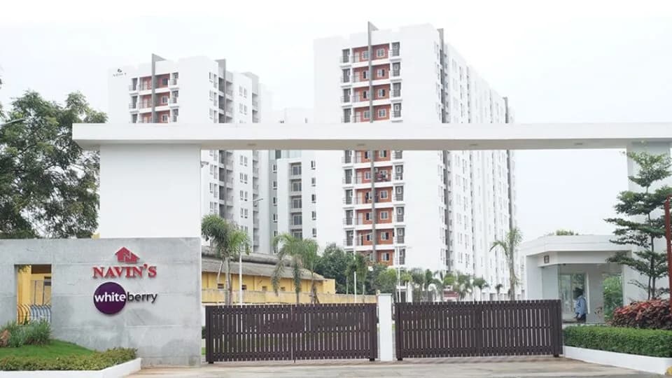
1 catalogue project · Tamil Nadu · #61 in Top 100 in Chennai North
What residents say
- Connectivity
- 3.9
- Lifestyle
- 4.1
- Safety
- 4.0
- Environment
- 3.9
Living in Moolakadai
What works
- Moolakadai is a mid-income housing hub offering 2 & 3 BHK apartments
- Chennai–Srikakulam Highway & Madhavaram Red Hills Road intersect here
- Kamaraj Road, Tondiarpet High Road & MES Road act as key connectors
- Washermenpet Metro (Blue Line) is nearest, about 5km from the locality
- Industrial estates of Ambattur & Padavattamman are within 13 km
What to watch
- Several parts of Moolakadai receive heavy traffic during peak hour
Living in Moolakadai: what’s around
School · 12 within 3 km
St Anne's Matriculation School · St Anne's School · Don Bosco Mat.Hr.Sec. School,Erukkancheri
College · 3 within 3 km
St Anne's Arts And Science College · R Square Academy for Tnpsc, Tnusrb SI, Tet, Police, Ssc, Rrb, Bank Exam Coaching Centre · Dr. Ambedkar Government Arts College
Hospital · 74 within 3 km
Kvt Health Centre · Fathima Nursing Home · NRV Hospital
Metro / Rail · 4 within 3 km
Perambur · Perambur Carriage Works · Vyasarpadi Jeeva
Park · 4 within 3 km
Children Play Ground · Madhavaram Botanical Garden · Corporation Ground
Bank · 4 within 3 km
Union Bank of India · Canara Bank · Indian Overseas Bank
Counted within 3 km of the locality centre, straight-line. Data © OpenStreetMap contributors.
Moolakadai on the map
- School
- College
- Hospital
- Metro / Rail
- Park
- Bank
Straight-line distances, approximate. Map data © OpenStreetMap contributors; satellite imagery © Esri, Maxar, Earthstar Geographics.
Live inventory
1 project in Moolakadai
More localities in Chennai
View all →Reviews
First-hand experiences help buyers make better decisions.
No written reviews yet
Be the first to share a first-hand experience.